

Earlier in the Spring (see Weekly Blog Episode 66), I headed onto Cleeve Hill, my local hill, to help the Cleeve Common Trust test out a new self-guided walk they have developed. The four-mile walk circled Cleeve Common with commentary explaining the geology, views, and other features you can see along the way.


Cleeve Common is Gloucestershire’s largest common, with an area of over 1000 acres. It is within the Cotswolds Area of Outstanding Natural Beauty (AONB), but is also designated a Site of Special Scientific Interest (SSSI) for its geology, habitats and botany and it also contains a wealth of archaeological interest, including three Scheduled Monuments.
Being my local hill, I’ve spent a lot of time wandering up there since we moved to the area, especially over the last 18 months when things have been all about staying local. And so following a route specifically curated to help me to learn a little bit more about the views I’m seeing each time I visit is an excellent way to spend #OneHourOutside (or two).


Cleeve Common History and Archaeology Walk
Evidence of human activity on or near Cleeve Common can be traced back for around 6,000 years. The bulk of the evidence of prehistoric occupation dates to the Iron Age with sites atop the hill and below the escarpment. There are even traces of Bronze Age occupation. In addition, Cleeve Common shows archaeological evidence of Medieval and post-Medieval industry, farming and recreation.
So it’s a pretty good place for a wander with history and archaeology as your focus…
The self-guided walk developed by Cleeve Common Trust offers two routes with commentary on the historical and archaeological features you can see as you walk. The shorter route offers 2.7 miles, and the longer route (the one I tried out) 4 miles. My walk took a little over two hours, with reading all the notes provided and stopping for a cuppa along the way.
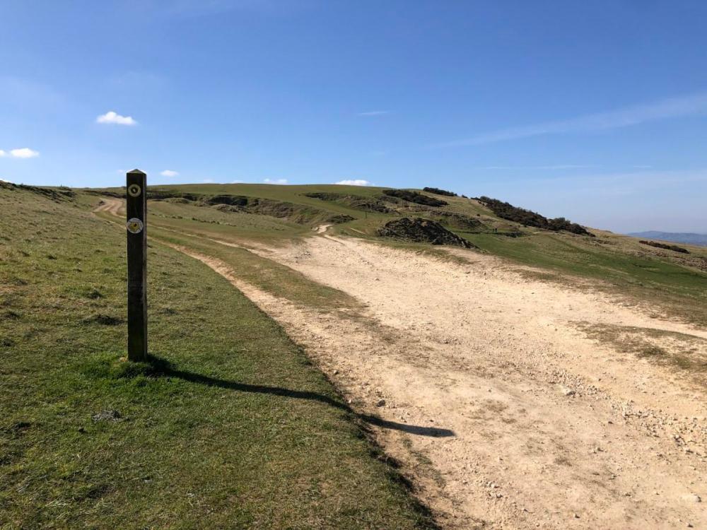
Both routes start and finish at the Quarry Car Park close to the Golf Course (where the café is now open to the public), and takes visitors around what most consider the main top of the Common, so it’s not too steep – there’s just one short but significant climb up to the first trig pillar, and the rest is gently undulating.

Unlike my other hiking posts here on Splodz Blogz (have you done this one through Breakheart Plantation yet?), I’m not going to take you step by step along the route – Cleeve Common Trust have prepared a super detailed description for you to follow together with all those historical facts. But I did want to let you know about the walk, as I think it’s worth some of your time, especially if you live locally and are looking for a slightly different way to see Cleeve Hill this weekend.
The highlights include remains of Bronze Age round barrows, Home Guard shooting ranges from the two World Wars, Iron Age settlements including The Ring and a hillfort, two OS trig pillars, medieval boundaries, a large dewpond, and more… And of course given that you’re up on the Cotswolds escarpment, there are also fabulous views.

I plotted the route on OS Maps if you’d like to use that as a guide alongside the document found on the Cleeve Common Trust website.
If you want more short loops in the Cotswolds, check out some of my other hiking posts such as this one featuring six short walks in the Cotswolds, and this one with four hills to climb near Cheltenham. Alternatively, use the route-finding function over on OS Maps to discover both published routes and routes that others have plotted to give you some ideas.
If you have never tried OS Maps and want to, start here (affiliate link, thank you for supporting my hobbies).