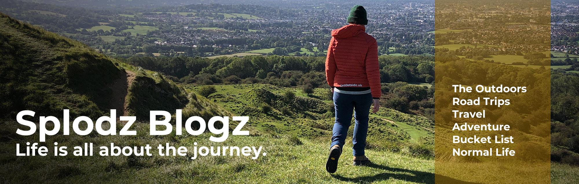
A wild and windswept Dartmoor hike that offered challenge, presence, and a rare kind of stillness. Hiking Meldon Reservoir, Black Tor, High Willhays, Yes Tor, and Black Down.
I’d come to Devon for a bit of quiet. A few days tucked away in a cabin in the woods, part of a little project I’ve been working on, exploring unusual places to stay around the UK. I’ve called it Quirky Stays; part travel, part storytelling, part experiment in rest. The beautiful Honeydown was my first stop, and while I didn’t plan to do much, there was one thing I’d pencilled in from the start – a hike across Dartmoor to reach its highest point.
Hiking Dartmoor wasn’t the sole reason I chose the area for my first Quirky Stay, but it definitely shaped my decision. Dartmoor is where I first fell in love with hiking; its wildness taught me something about both awe and endurance from a very young age. And there’s something about setting a goal that’s both simple and tenacious: climb High Willhays and Yes Tor, the highest point and highest tor in the National Park. That was the plan. The weather, as it turned out, didn’t exactly get the memo. Or maybe it did…

A Wild Walk Across Dartmoor
It was the middle day of my stay, and while the cabin offered calm and quiet, Dartmoor offered something else entirely: wind-whipped moorland, sideways rain, and a kind of elemental challenge that felt oddly invigorating. I’d mapped out a 9-mile loop from Meldon Reservoir, aiming to take in Black Tor, High Willhays, Yes Tor, West Mill Tor and Rowtor. But the weather was relentless, and after reaching the high points, I made the call to cut the loop short and retreat to the safety of my cabin. I hiked just over 8 miles in total, which took me around four hours.
This adventure journal tells the story of that walk. About the route I took, the choices I made, and the way Dartmoor revealed itself in gusts and downpours. The weather wasn’t just the backdrop to this one – it was a lead character. And while I didn’t get to every tor I’d planned, I did find something else out there: a kind of stubborn joy in moving through it anyway.

Watch the Video…
I shared this video in my Quirky Stay write-up, but in case you missed it… Here’s a vlog which I hope captures this windswept hike to Dartmoor’s highest point and tor. As you will see, it was a wild Saturday adventure full of moorland magic and wide horizons. The video also features that off-grid stay at Honeydown, where I spent the weekend tucked into a gorgeous woodland truffle which provided retreat, luxury and novelty.
If you enjoy it, please do hit that thumbs up button, it makes me smile!
Adventurous Conditions
There’s a kind of joy that only shows up when you’re just outside your comfort zone, when the wind’s howling, your shoes are soaked through, and you’re still smiling because you chose this. Dartmoor didn’t make it easy, but it made it memorable. And somewhere between Black Tor and Yes Tor, I realised that this kind of wilful joy is exactly why I hike.
I knew the weather was going to be pants (technical term). The forecast was clear about that: strong winds, potentially heavy rain, and very low cloud causing poor visibility, especially at height. But I also knew I was ready. I had the right gear – layers, waterproofs, food, water, and both digital and paper maps, plus a compass I know how to use. I’d plotted and studied my route in advance, noted potential escape paths, and made sure I could adapt if needed. This wasn’t a reckless dash into the unknown. It was a deliberate decision to hike in wild conditions, knowing I had the skills and tools to do so safely.
And that’s part of the exhilaration, isn’t it? Not just surviving the elements, but choosing to meet them. To feel the wind tug at your jacket, the rain sting your cheeks, and to keep walking anyway. There’s something oddly cleansing about it, like the moor strips everything back to the essentials. You, the path, the weather, and the quiet satisfaction of meeting the challenge presented with a smile.
Download file for GPSSee the full route in OS Maps.
Setting Off from Meldon Reservoir
My hike began at Meldon Reservoir, just south of Okehampton and tucked just inside the Dartmoor National Park boundary. It’s a popular starting point for walks into the northern moor, and for good reason. There’s a large car park managed by Dartmoor National Park (£5.60 for the day, which I was happy to pay), toilets, and even a coffee van. Despite the forecast, a good number of people had clearly decided to get out anyway. I’d only see two others on my chosen route, and they were distant figures across the river before I climbed up Black Tor, but I did at least know others had made a similar choice to me.
Meldon itself is more than just a convenient car park. The reservoir was built in the early 1970s to supply water to North Devon, damming the dramatic Meldon Gorge where the West Okement River flows off the moors. It’s the last of eight reservoirs constructed within Dartmoor National Park, and its creation was fiercely contested at the time by conservation groups and local organisations. The dam is an impressive feat at 200 metres long and over 55 metres high, built using 270,000 tons of concrete sourced from nearby Meldon Quarry. Beneath its waters lie the remains of two 19th-century mines, Forest Mine and Homerton.
Today, the reservoir holds around 300 million litres of water and sits at an elevation of 275 metres above sea level. An island at the southern end has been planted with trees and developed as a nature reserve, adding a quiet touch of greenery to the somewhat stark landscape. It’s a place that feels both functional and wild, engineered for purpose, but still very much part of Dartmoor’s rugged character.

Up the Valley to Black Tor
From the reservoir, I followed the undulating path that hugs the water’s edge, winding around Longstone and Homerton Hills. It was a gentle start, offering glimpses of the moor’s drama ahead. The path then turned uphill, tracing the West Okement River, a stretch that felt like walking through a secret garden. Waterfalls tumbled over rocks, moss-covered trees leaned in close, and one even had a smiley face carved into its bark as if to say ‘you’re doing alright’.
Just before reaching the Black-a-Tor Copse National Nature Reserve, I turned left and began the steep climb to Black Tor (488m). The copse itself is one of Dartmoor’s rare temperate rainforests, home to ancient oak trees and vibrant mosses, a place I’ve bookmarked for another day. The final push to Black Tor was scrambly in places, a boulder field that demanded careful footing, but no hands required. Just enough to feel like you’ve earned the view. And there was a view here, a bit of one, at least.

The Good People of Dartmoor
Black Tor stands like a sentinel above the valley, its granite outcrops weathered and wild. While it doesn’t seem to have a specific legend attached to it, it sits in a landscape steeped in folklore. Dartmoor is home to tales of ghostly hounds, mischievous piskies, and mysterious happenings in the mist. The route up the hill, with its twisted trees and mossy silence, felt like exactly the kind of place where stories might whisper themselves into being.
And maybe that’s part of why Dartmoor has always held my imagination. It wasn’t just the walking that drew kid Zoe in, it was the sense that every tor, every kink in the path, might have a story tucked beneath it. Real or imagined, the history here feels layered and alive.
That feeling hasn’t gone anywhere. It’s the same thread I find in books like The Story Collector by Evie Woods (here on Amazon), which is my current novel of choice; that quiet belief in ‘the good people’, in fairies and folklore, in the idea that a place can hold stories just beneath the surface. Dartmoor has always felt like that to me. Not just a place to walk, but a place to deeply wonder.

Across the Moor to High Willhays
From Black Tor, the path led me across open moorland toward Fordsland Ledge, a rocky outcrop about 100 metres higher than Black Tor. It’s along this stretch that the military firing range begins, and while the landscape remains wild and open, there’s a quiet tension to knowing you’re walking through MOD land. I’d checked the firing schedule online in advance (the Ministry of Defence publishes it regularly), and the absence of a red flag confirmed what I knew: no firing today.
It was here that Dartmoor really started playing games; the wind picked up, the rain became steady, and I was well inside the cloud. This section was already going to be the hardest to navigate, thanks to there being no clear path on the ground, and no signposts or boundary markers to follow. And the terrain required concentration thanks to its boulders and bog. But you know from the tone of this journal that all was well, and I never stopped having fun.

Using my Skills
The one positive was that the visibility was just good enough to pick out features in the landscape – cairns, ridgelines, the occasional outcrop – which meant my compass stayed in my bag. But it wouldn’t have taken much of a further shift in the weather for me to need to take a bearing.
Dartmoor is known for its marshes, and I met a few wide ones here, which added to the difficulty rating across this couple of miles. My plotted route line looked neat and direct; my recorded line was anything but. I weaved and wiggled to avoid the worst of the bogs, which made things slow going, especially as I had to keep checking and adjusting to make sure I was heading in the right direction. It’s easy to become quickly disorientated if you don’t.
Dartmoor is where I first learnt the art of map reading and how that goes alongside understanding terrain and weather. I was a child then, but all these years later, I remember the lessons well. It is good that I can still put those skills into practice. There’s something satisfying about this kind of navigation, when reading the land, adjusting on the fly, and trusting your judgement adds to the feeling of accomplishment at the end of the day. It’s where preparation meets instinct. And even in the wind and rain, I felt that stubborn joy again.

High Willhays: The Roof of Devon
Reaching High Willhays felt like arriving at the quiet yet brash crown of Dartmoor. At 621 metres, it’s the highest point not just on the moor, but in all of southern England. The summit itself is modest with a few low rocky outcrops and a cairn, but the sense of elevation is unmistakable. Okay, so I couldn’t see huge views all around (or any views, in fact…), but there was a definite feeling of being ‘on the roof’ of Devon, with the wind sweeping across the moor and the land falling away in every direction.
There’s a curious history to the name. Early records called it ‘Hight Wyll’ and later ‘High Willows’. Some suggest it comes from ‘gwylfa’, meaning ‘watching place’, hinting at its use for beacon fires or distant observation. Others think it might be linked to ‘wheal’, meaning mine, though that’s less likely given its distance from streams. Or so the internet tells me, anyway.
For years, many believed nearby Yes Tor was the highest point; its dramatic profile certainly looks the part. But local moormen and farmers insisted otherwise, and Ordnance Survey eventually confirmed it: High Willhays edges out Yes Tor by just eight feet!
The summit is part of a north-south ridge that includes both peaks, and walking it feels like tracing the spine of Dartmoor. It’s bleak, beautiful, and exposed, especially in the kind of weather I faced. The MOD firing range adds a layer of tension to the atmosphere, but also a strange kind of solitude. You’re walking in a place shaped by nature and history, but also by the quiet presence of watchfulness.

Yes Tor: A Ghost in the Mist
From High Willhays, the descent to Yes Tor is barely a dip, just two metres lower at 619m, but the change in character is striking. Where High Willhays is broad and understated, Yes Tor rises in a bouldery jumble, crowned by a trig pillar that further marks its obviousness. It feels like a destination, even if it’s only a short walk from the previous landmark.
In clear weather, you’d easily see one from the other. But on this day, I couldn’t see Yes Tor until I was almost upon it. It emerged slowly from the mist, its silhouette forming like something out of folklore; lurking, waiting, half-hidden in the fog. There was something eerie and thrilling about that reveal, as if the moor had decided to show me its secrets one at a time. I don’t know if you’re watching Destination X on the BBC, but it was as if someone else was choosing which bits of the view to show me as I moved through it, unable to zoom out to see the bigger picture.
Normally, I’d climb atop the trig pillar and declare myself ‘king of the castle’ at the top of my lungs. But the wind was fierce, strong enough to make standing upright a challenge, let alone balancing on a narrow concrete column. I settled for a safer ritual: a scramble up the granite tor and a jolly good pat on the trig with my cold, wet hand. A quiet coronation, but no less satisfying.
Thankfully, this stretch had followed a more obvious path than the previous couple of miles. After the marshes of the previous section, it was a relief to walk with a bit more certainty underfoot. The wind still howled, the rain still fell, but the terrain felt more cooperative.

A Pie, a Pause, and a Sensible Call
I found a sheltered spot on Yes Tor (about as sheltered as you can get up there), and took a moment to pause.
Two things happened. First: lunch. It’s more difficult to refuel when the weather is poor, but it’s even more important than on a fair day. I’d brought a proper pork pie with me, and there’s simply no better hiking food. Dense, satisfying, no faff. I mean, it’s hard to squash a pork pie like you might a sandwich.
Second: my route. I’d likely pushed my luck enough for one day. Visibility was poor, the terrain had already asked plenty, and the comfort of dry socks felt like a distant dream. I mean, the rain had been relentlessly heavy, and I was very wet. My waterproofs were doing their best, but when wind drives rain sideways, you have little chance of staying dry.
One of the alternative routes down into the valley was coming up just north of Yes Tor. It meant missing out on West Mill Tor and Rowtor, two landmarks I’d hoped to include, but the sensible voice in my head was getting louder. Wainwright said ‘there’s no such thing as bad weather, only unsuitable clothing’, I always add ‘and bad decisions’ to that.
So, I chose the obvious track. Rocky underfoot, yes, but easy to follow. It led me down toward Black Down in a steady, no-nonsense descent. I only cut off about a mile of my total route, but it felt like the right choice. Once I dropped to around 420 metres, the visibility improved dramatically. The moor behind me was still cloaked in cloud, but ahead, the valley opened up like a welcome.

Meldon Viaduct and a River Crossing
The hike was far from over. I still had the small matter of an incredibly steep descent into the valley upstream of the dam, and then a climb back out so I could walk across the dam to reach my car. But first, a view: the famous Meldon Viaduct came into sight, its iron frame cutting across the valley like something out of a steampunk novel. It kept getting closer and more imposing as I made my way down toward the West Okement River.
Built in 1874 by engineer WR Galbraith for the London and South Western Railway, the Meldon Viaduct is one of only two surviving railway bridges in the UK supported by wrought iron lattice piers. It once carried trains across the deep valley, and now serves as part of the Granite Way cycle route. Its elegant trusses are a striking contrast to the wild greens and browns of the Dartmoor landscape.
The path down was steep and slick, and the West Okement River, now on the outflow side of the reservoir, roared with storm-fed energy. Then came a surprise: my route required a water crossing. There were stepping stones of sorts, but the river rushed over them thanks to the downpour I’d just endured on the high moor. Thankfully, it wasn’t deeper than my hiking shoes (the adidas Skychaser, which I will review properly later this summer). A careful crossing, a bit of luck, and I was through.

Dartmoor Mission Accomplished
The valley was beautiful, bright green with moss clinging to rocks and tree trunks, the kind that nods back to the good people we’ve already talked about. It was a moment of softness after the harshness of the moor. The climb out of the valley was steep; one last test for tired legs and wet socks. But with the dam in sight, the end was near. The adventure, I think it’s fair to say, was done.
I crossed back over the dam, wind still tugging at my jacket, and made my way back to the car. There, I peeled off my soaked shoes, swapped them for something dry, and drank the hydration tablet drink I had waiting for me.
The 20-minute drive back to the cabin in Hatherleigh wound through quiet lanes, hedgerows dripping from the rain, sheep blinking at the car as if to ask what I’d been doing out there. I thought about the valley, the moss, the moor, how Dartmoor had offered both grit and grace, challenge and charm.
Back at the cabin, the kettle whistled, and I sat in my cosy and sheltered spot watching the clouds roll low over the hills through the trees. There’s something about coming in from the wild that makes the ordinary feel sacred: dry socks, a hot drink, the hush of a space that holds you. The kind of ending that doesn’t need fanfare, just a quiet thank you to the land, and to the legs that carried me through it.

Reflections on a Wild Dartmoor Saturday
This hike was a challenge, I don’t mind admitting that. The conditions were tough: relentless rain, strong winds, poor visibility, and terrain that demanded constant attention. There were no sweeping views, no golden-hour panoramas. Navigation was a test of instinct and experience, and the ascent and descent asked a lot. I had to really go for it.
And yet, I was totally invigorated. I mentioned earlier that I feel a kind of stubborn joy when I push through –contentment comes when I adapt to the land and the weather and find my way regardless. I felt accomplished, satisfied, and, strangely, light. The fun wasn’t in the ease; it was in the effort. In the marshes I wove around, the cairns I could just make out through the fog, the trig I patted with a wet hand, and the river I crossed with a grin and a prayer.
At the cabin, everything softened again. I lit the fire, hung up my soaked gear to dry, and sank into the quiet warmth of a well-earned rest. I slept deeply, the kind of sleep that only comes after a day spent fully outside.
Despite the challenge – or maybe because of it – it was the perfect way to spend a Saturday. I’m very glad I made that decision to go anyway.

A Kind of Reprieve
Maybe I need to say that the experience I had on Dartmoor didn’t make grief vanish. But for a few hours, it stepped quietly aside. Dartmoor demanded my full attention: the shifting light, the boggy paths, the wind that pushed me one way and then the other. I had no choice but to be in the moment. And in that moment, there was movement, breath, and something like steadiness. Not healing, but a kind of reprieve. If I can impress anything on others who might be grieving as I am at the moment, I urge you to find things that speak to your inner self in the way that this hike spoke to mine.
Dartmoor didn’t offer me comfort in the traditional sense. It offered challenge, wildness, and a kind of raw companionship. It reminded me that I’m capable – of navigating, enduring, noticing. That even in the thick of rain and fog, there’s beauty to be found and joy to be earned. This hike wasn’t just a walk through a landscape; it was a walk back into myself. And for that, I’m grateful.

Want to follow this route (the one I planned to hike…)? I’ve saved it on OS Maps…
Don’t have a subscription to OS Maps? Use OSCHAMPS to claim three months free premium access to the app (affiliate link, code works best via the mobile app) – it’s a game-changer for planning and sharing your hikes.
What do you think? Comment below...