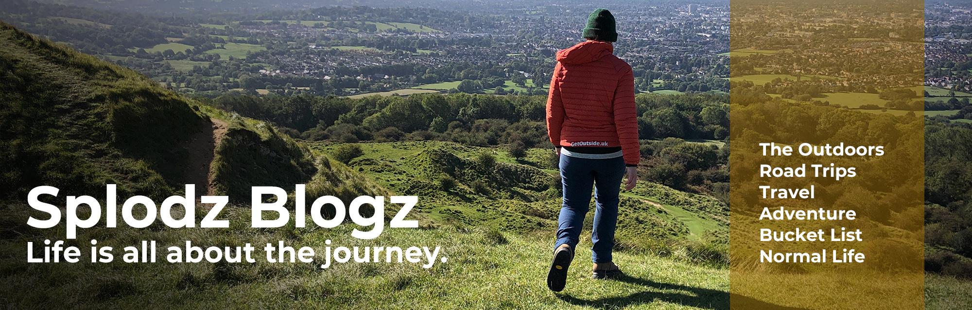
Last weekend I hiked the Isbourne Way, a local-to-me linear route that follows the River Isbourne from where it rises on Cleeve Hill in the Cotswolds AONB, to its confluence with the River Avon in Evesham, Worcestershire.

It’s been on my to-hike list since I saw the tiny little information sign about it on one of my Cleeve Hill wanderings a year or two ago. I was joined by friend and colleague Emma, who responded to a tweet suggesting we did this one together; it was lovely having some company for this full day out in the countryside.
I decided to blog about this hike in the hope it might encourage those of you who are local to this area to hike The Isbourne Way yourself. Or, if you’re a bit far away for this to be in-one-day trail, to hunt out a similar created-by-locals route close to where you live. It’s easy to overlook trails like this in favour of the more well-known ones; maybe this will be your signal to plan something like this for a weekend coming up soon.

The Isbourne Way
The Isbourne Way is a waymarked trail, created by locals and launched at Winchcombe’s walking festival back in 2014, which follows the River Isbourne from start to finish. The route doesn’t quite hug the riverbank all the way, but you certainly track it the full distance, and have that unmistakeable soundtrack of running water for the most part.
Joining up existing footpaths into a route starting at the Washpool on Cleeve Hill, it passes through the villages of Winchcombe, Toddington, Wormington and Sedgeberrow, and ends at Evesham. There are farms, villages, churches, country lanes, woodlands and orchards, bridges (some more rickety than others), and even some big views.
It was reasonably flat, apart from Cleeve Hill at the start, on easy going terrain, with plenty of way markers for straight forward navigation. At 14 low-level miles, it’s the perfect distance for a doble day hike – a full day on the legs, but one that can be done in six or seven hours with plenty of stops.
In all, our day hike was somewhere nearing 18 miles. We didn’t go wrong (more than a couple of hundred metres, anyway…), the official Isbourne Way route is definitely just over 14 miles, but we had to get up and over Cleeve Hill to start with, and then extended the end to a cafe in Evesham town centre. Walks should always end with a treat, it’s part of the fun.

This River Flows North
A tributary of the Warwickshire Avon, the River Isbourne is the only river in England to flow north all the way from source to mouth? So I’m told, anyway.
Despite being small, both in length and width, this river has been an important source of power for centuries. It is dotted with mills all the way along. Most of the old mills are now very lovely houses, and we spent a lot of time dreaming of living in one of the large countryside residences we saw along the route.
Historic mills can be seen at Winchcombe, Toddington, Dumbleton, Wormington, Sedgebarrow and Hinton on the Green. One mill, Postlip Mill, is now a sprawling industrial operation, still making paper today.

Cleeve Hill
It was a cool and atmospheric start to the day up on Cleeve Hill. When we left home the hill was completely in cloud, but even in the ten minutes it took us to get to our starting point it had started to lift. It was set to be a beautiful day.
We were dropped off at the old tram stop on the B4632 (a good place to park if you are looking to explore Cleeve Common), and began our hike with a brisk walk up the hill to the Golf Club, before making our way down to the Washpool via the Cotswold Way.
Given that the whole point of this hike was to walk along the river from start to finish, we wandered up the stream feeing the pool to see where the spring actually comes out of the ground. Despite a bit of rain in the previous couple of days, the limestone grassland hills of Cleeve Common remain incredibly dry and dusty after the very hot summer we’ve had, making the trickle of water from the spring even more obvious than normal.

Postlip Hall and Mill
The first Isbourne Way marker is just south of the Washpool, directing walkers towards the lower part of the hill and off the common, before it skirts around the beautiful grounds of Postlip Hall and out towards Winchcombe.
Postlip Hall is a Jacobean Mansion surrounded by 15-acres of gardens and farmland. It is home to an established co-housing community of eight families they describe as a “village under one roof”. It’s beautiful, very majestic looking on the side of the hill. Sometimes I wish I lived in a house like that, with all that space and grandness, but I’m sure it’s very expensive to heat in the winter, even more so this year…
The River Isbourne feeds a series of formal ponds here, one after the other. Soon, you are in an altogether more industrial section of the path, with cloudy blue mill ponds instead of clear duck ponds, which you can just about see from the path around the factory.
Postlip Mill was first recorded as milling flour around 1066, using a large water wheel. Paper has been manufactured here since 1733 – and today it makes specialist filter paper, such as that found in face masks.
There used to be three operational mills on the River Isbourne around Postlip, but there’s just the one left now. It looks like quite the operation, with large buildings, access roads and high fencing. Not exactly like the mills you might expect to find on a river like this, perhaps, but I guess this is progress.

Winchcombe
The way markers made getting around the noisy mill simple, and we got to Winchcombe without needing to check the map. I admit Winchcombe is a lot bigger than I’d realised, even having hiked from here on more than one occasion, we seemed to be walking through it for quite some time.
If we’d have needed breakfast, this would have been a great place to stop. Winchcombe has some lovely bakeries, and if you are looking for somewhere to mooch for a couple of hours on your next visit to the Cotswolds, I’d recommend it as a place to wander.
Once underneath the steam railway line (the GWSR), we did a short section on a narrow country lane (which was much busier than it would normally be thanks to the main road through Winchcombe being closed to traffic), before heading back out into the countryside-proper.
We found ourselves up on a slight ridge (only about 110m), and quite a distance from the river. While we weren’t right by the river here, the view from this relatively high position over to the Cotswold escarpment was pretty special, especially on the lovely blue-sky day we had. We tracked the river from about half a mile away, before joining back up with it at Toddington Mill.

Toddington
It was between Toddington Mill and Toddington that we made one of only two slight navigation errors on this hike. We crossed the river using a bridge with several footpaths marked from it, but without the Isbourne Way logo we’d been following, and instinct had us choose the wrong one.
Thankfully the route a passing car took around the edge of the field made us check the map; we’d only gone 100m in the wrong direction and so could easily reset. We landed up at a really fabulous old road sign at Toddington, which was hard to photograph as the road it sits on was quite busy on this particular Saturday morning, but I think I got away with it!
It’s not possible to follow the river exactly here, because it goes through the private grounds of Toddington House. Toddington House, or Toddington Manor House, is an early 17th century Jacobean mansion, just like Postlip Hall.
It’s clear from all the signs on the gates and walls that the owners (a building company these days), don’t want people on the wrong side of the gates. The Isbourne Way therefore follows the country lane from Toddington, past some lovely and large houses very much out of my price range (yes, I looked), by an honesty box style end-of-drive shop selling veggies, preserves, and wicker baskets, around Burberry Hill, and back to the river at Mill Farm.

Wormington
We were soon in Wormington, which is a really beautiful quiet village with a rather lovely bench circling a massive acer tree at its centre. It was just the right spot to take a boots-off lunch break – sitting in the shade having been out in the strong sunshine all morning was exactly what we needed.
As we munched on tomato pasta (Emma) and pork pies followed by malt loaf (me), we chatted to a couple of locals. A lady offered to open up the church so we could use the facilities, and a man took our rubbish to put in their bin so we didn’t have to carry it to Evesham with us. People really are kind.
The section from Wormington to Sedgebarrow was mainly through fields, including one which had us walk right through the not-quite-ready-to-harvest corn. Definitely my favourite footpath of the whole walk, it was so different to footpaths I’m used to walking. We picked up the Wychavon Way (another one for the list, perhaps), which took us into Sedgebarrow.

A Clumsy Moment
It was also along this section that the river got wide enough to be marked by more than just a single blue line on the OS Map. There were some really lovely spots along here, which would have been perfect to stop to make a brew if I’d have packed the Jetboil.
We spotted a couple of rope swings, although there was nowhere near enough water in the river to make jumping in anything more than an ankle-breaking exercise. I nearly managed to damage myself even without the swing, tripping over a tree root and ending up flat on my face on one of the woodland path sections. Honestly, I am so clumsy, I don’t think I can go on a hike these days without ending up cut and bruised at some point during the adventure. I say “these days”, but actually I’ve always been accident prone – I just don’t bounce quite as easily any more.

Storm Clouds
The path tracked the River Isbourne closely from here, on one side or the other, and it really did feel like we were getting towards the end of our hike.
It looked as though we might get a storm. Two sets of angry looking clouds were moving towards each other at quite a pace. I don’t know if we were sad or happy that it just blew over, a storm would have been a welcome break from the sticky heat. Equally, we were not in the best place to weather a full-on storm, so it was probably for the best. I’m honestly not sure why I packed a jumper!
Hiking in this part of the country always seems to include an encounter with a horse. On our way to cross the busy A46 (via an underpass), we had to cross a paddock, and a massive horse came right up to me to say hello without any concept of personal space. That ride over in the Brecon Beacons earlier this year really has helped my anxiety around horses, which is a good job really, as it put its nose in my face!

Hinton on the Green
It was at Hinton on the Green that the footpath took us through someone’s house. Well, their garden – grounds – at least. We walked through their (open) back gate, and had to let ourselves out of their front gate. Not easy-to-see-through five bar gates or iron gates as you might imagine, but big and solid painted gates, which made it feel like we were trespassing.
The footpath sign was clear, and we said a quick hi to a guy doing some work in the yard, so we didn’t feel as unwelcome as the gates suggested we ought to. It was just a little odd. I now wonder if they were actually flood gates, but they seemed too easy to open to be. I’ll have to go back and have another look sometime.
We’d crossed the River Isbourne on multiple occasions by this point, but it was the bridge at Downrip Farm I will remember the most. Long and narrow, it had enough of a sway on it to feel more than a little rickety. It was so weird – I was halfway over, thinking I felt a bit unsteady on my feet, when Emma shouted “oh wow is this safe?!”. The bridge really was moving as we walked across, unexpectedly so, it was quite unpleasant.

Evesham
It wasn’t long until we were walking past houses to the soundtrack of people enjoying themselves. To start with it was gentle noise from Evesham FC, and then sound of the music being played at the bank holiday weekend fair set up on the banks of the River Avon.
It hardly seemed any time at all before we’d made it to where the River Isbourne spills out into the River Avon. There was no pomp and ceremony, just lovely riverbank scene littered with anglers and families having picnics. The perfect place to finish a day in the countryside.

Your Turn to Hike the Isbourne Way
Hiking the Isbourne Way isn’t a tough day out in the fells kind of walk (have you been reading my UK Coast to Coast Adventure Journal series?). Rather, it’s a lovely, easy going, flat (in the most part), full day wander through beautiful countryside.
Yes, the distance itself makes it a challenge, especially if you’re not used to walking big mile days. We walked nearly 18 miles in just under six hours including a decent length lunch stop, so this isn’t to be sniffed at. But as far as long hikes go, this is a great beginner option.
Given the even spread of the various villages you walk through, none of the sections feel like a hard slog. You could easily split it up with breakfast in Winchcombe and a pub meal in Sedgebarrow, and there are plenty of café and pub options in Evesham at the end.
Some of the walking was quite exposed, with no shade or shelter, so I imagine on a rainy day those sections will feel as damp as they did hot for us. Just remember to pack accordingly.

Routing
I had the route plotted in my OS Maps app, and a copy of the map in my bag just in case, but to be honest I only checked it here and there. The route is very well way marked, and given that you are following a river, you’re not going to go too wrong – or at least, you’ll quickly work it out if you do.
If you are local to Cheltenham or Evesham or the surrounding area, and enjoy walking, this is a must-do trail. Grab a friend or two, pack a bag with water and snacks, and go.
You’ll find some information and a link to buy a guidebook on the Winchcome Welcomes Walkers website, and a GPX file available to download via the LDWA website.

What Next?
Now I’ve ticked this route off my local to-hike list, I can move onto the next one. It’ll either be the “Mini Alps” in the Malverns, a 17-mile circular route Worcestershire Beacon, Old Hollow, Whithams Hill, Hatfield Coppice and Herefordshire Beacon. Or, maybe I should do back-to-back hikes (two day hikes in a row) along the Windrush Way and Warden’s Way, which take different routes to/from Winchcombe and Bourton-on-the-Water. Although I am still yet to walk the second half of the Winchcome Way, so that should probably be more on my radar.
I hope this post has inspired or encouraged you to find a similar walk close to where you are, to get to know your local countryside a little better. Let me know where you head.

Shybiker
Great report! You describe the experience well and the photos convey the sights. 18 miles is a lot of ground to cover; impressive. Reminds me of a book I just read (“Wild”). Sorry you had a mis-step; happens to all of us. It’s why I now carry hiking poles, to maintain balance. I like how your area has history and odd names; I have no clue how to pronounce most of them.
Splodz
Thanks 🙂 It was a long way, and my legs definitely reminded me of that for the few days afterwards. I definitely should have had my poles, I naively thought I wouldn’t need them for the terrain that day.