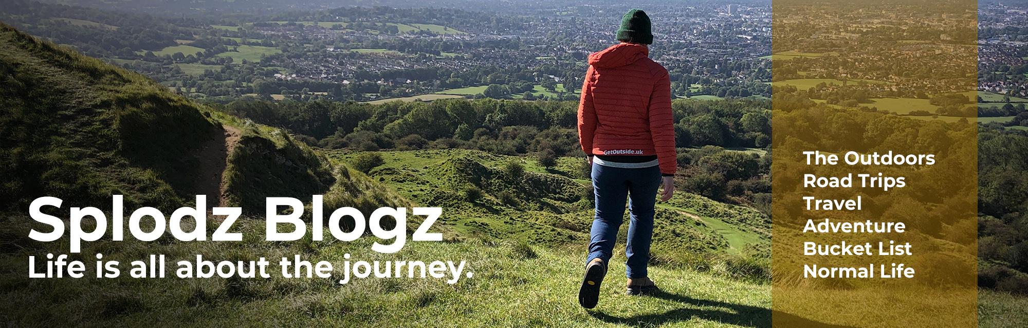
Back in Summer 2023, Jenni (my Coast to Coast and West Highland Way hiking buddy) and I walked the Cumbria Way. Well, the Cumbria Way-ish. We used this 73-mile waymarked long-distance trail in the Lake District as inspiration for a week hiking in this beautiful part of the country.
In this second part of my Cumbria Way adventure journal series, I’ll actually start talking about hiking…

If you haven’t read part one yet, you’ve missed out on an awful lot of words about how our week in Cumbria would look, planning and preparing to get out on trail, what I packed, and the all-important travel. Do head back and read that if you want the low down on the logistics, which might be useful if you are looking to do a similar trip yourself.
On day one on the trail, we followed a little over 17-miles of the Cumbria Way from Ulverston to Coniston. It was very hot, the hiking was slow, and the navigation incredibly bitty. But it was also stunning, and an absolute pleasure. There is something so wonderful about walking a long-distance path; wandering through the wilds of England, feeling part of the landscape, and having nothing to worry about other than walking.
It might have taken us a minute to get into our stride, but we soon found a rhythm on the trail – taking it in turns to lead, working together on the navigation, and learning we needed to stop very often to cool down.
In this journal article I’ll take you through our first full day on the trail – hiking along the Cumbria Way from Ulverston to Coniston.

Cumbria Way Day 1 | Ulverston to Coniston, 17.3 miles
I could hear the storms pass overhead from my bed in the attic in our Airbnb in Ulverston throughout the night. That, and the fact my head was full of a combination of excitement and worry about the trail, meant I didn’t sleep brilliantly. The night before I get going on anything big like this is always a bit of a restless one, my brain just can’t seem to shut off when I need it to.
Given the heatwave, we were keen to be on our way reasonably early, so we could take things slowly and had the option to hide away during the hottest part of the day if needed. The alarm therefore went off at a work-day time of 6.30am, we got up and showered, enjoyed a cup of tea while packing up our bags, and were ready to head out the front door at 7.30am.
The heavens opened again as we got ourselves sorted, but it didn’t last long, and while we faced a puddle-soaked street, the storms of the night were out to sea by the time we left.
Our first stop was the Tesco in the middle of Ulverston, to get supplies for the day. As we packed up our bags with our chosen food and drink – I bought a meal deal which I would later eat sat at Beacon Tarn – we met two guys who were also hiking the same trail. We’d leapfrog them over the next couple of days. I never did ask their names, I’m terrible at actually making friends on trail.

Official Start of the Cumbria Way
The official start of the Cumbria Way is marked by a plaque, bench and little sculpture at The Gill, which is a little out of the centre of Ulverston. A lovely little square, with painted terraced cottages complete with pot plants under the windows. It would be nicer if it wasn’t basically a carpark, but I know residents have to put their cars and vans somewhere.
We would, a little later in the day, enter the wilds of the Lake District National Park, which would become our home for the rest of the week. But first we had to get there, which involved walking through a lot of farmland.
The route starts on a well-made footpath through trees and along a river. The tarmac didn’t last long, though, we were soon out into something which felt much more like countryside. The Cumbria Way took us from farm to farm, over what felt like 100 stiles in just a few miles, through pastures with sheep, horses and some very curious cows.
We did something that was a first in my hiking career. The farm track on the way to Old Hall Farm and Bortree Stile, not far from Ulverston, was covered in Astroturf. As in the plastic grass councils use to cover football and hockey pitches. I guess it’s better to use old Astroturf in a practical way rather than send it to landfill, but it was still a bit odd, and not something I would ever put on a hiking terrain bingo card. If it’s on yours, you know where to go!

Missed the Monument
As we walked away from the town, the views behind us opened up and we could see Ulverston, with the Sir John Barrow Monument standing above the town, and the sea at Morecombe Bay beyond. I admit I have a tinge of regret about not making time the previous evening to walk up the 133m Hoad Hill, on which the monument sits.
Built in 1850, the monument looks like a lighthouse and comes complete with a lantern chamber at the top, but it’s never had a working light. Regardless of your opinion of Sir John Barrow (an instrument of imperialism or a humanitarian gentleman), it’s a pretty impressive tower which we could see for most of the morning.
A lack of planning for anything other than our intended hiking route meant I didn’t realise it was worth a visit, despite it being so close to the centre of town. Never mind. Next time I’m heading up that way I might make a little detour and park up for an hour so I can go and bag that trig pillar.

Hard Going Navigation
It was already hot. We knew it was going to be, but we were hoping to make it until late morning before we were sweating even on the slightest incline. Add to this the fact we weren’t quite in our hiking groove yet, and the navigation was tricky, meant the morning felt a bit hard going.
It is worth noting that about the navigation in this adventure journal post. While the Cumbria Way is an official long-distance footpath, with a diamond-marked line on the OS Map and a Cicerone guidebook, the signposting on the ground isn’t particularly consistent. And the route is not particularly well maintained in places.
We found some of the stiles, especially in the first few miles, were quite rickety. And spent a lot of time checking the map and guidebook to make sure we were choosing the correct route across fields and through farmyards. It’s a privilege to be able to hike through working countryside such as this, but I can’t help thinking that walkers would be much less annoying to farmers if the footpaths were easier to locate.

Into the National Park
The Cumbria Way sneaks into the Lake District National Park at Gawthwaite. I say ‘sneaks in’ because it’s a few more miles before it really feels like you’re in the wild and rugged landscapes you see in the photos. A lady called out to us as we walked past her stable offering to top up our water, which we gladly accepted, before continuing our sweaty traverse of farm after farm.
I mean, I’ve no complaints about hiking across pastureland. It was very pretty, especially in the sunshine. The views were big, the footpaths easy to walk on, and, if you discount having to pay real attention to our navigation, it was all quite wonderful.

A highlight of the morning has to be meeting a beautiful little pony called Flossie. She’d been brought to the beck to cool her feet off in the flowing water. We learnt from her owner, who was sat with his feet in the beck too, that she’d lost her foal earlier in the week. They were doing everything they could to help her recover from that as well as deal with the heatwave. Poor Flossie.
A little further along we met another little pony, this one with the smallest little foal – too cute.
One of the great things about hiking with Jenni is that we stop to chat to people along the way. Jenni is just so good at striking up conversations with people, where I’d probably just say a polite hi and continue along my way. It’s not only nice, it’s also useful, as locals are the best people to offer hints and tips for what’s to come.

Across the Ladder Stile
One of the things I remember Abbie Barnes mentioning in her documentary film about hiking the Cumbria Way, was that there would be a defining moment in our hike when we would climb over a ladder stile and it would instantly feel like we’d reached the Lake District proper.
She was not wrong. A short distance after Kiln Bank, we rounded a corner and that ladder stile took us onto the fells and opened up the craggy mountain views. And it was glorious. We walked up onto Tottlebank Fell, passing Tottlebank Height and Wool Knott, bounding along the slightly spongey footpaths lined with bracken.
The highlight of the day, without a doubt, was reaching Beacon Tarn. A real oasis in the fell, with a truly beautiful backdrop. The perfect place to stop for a break.

We spent an hour or more relaxing by the mountain lake. We paddled in the cool water, ate those meal deals we bought in Ulverston, drank loads, rested our feet, and enjoying the opportunity to soak it all in. This is one of the things that I love about hiking in summer; the long daylight hours mean even when you’re hiking over 17-miles, you have plenty of time to take it easy. And the heatwave necessitated lots of breaks, resting was medicinal in more ways than one.
Fell Runners and Mascots
We were entertained by a steady stream of runners taking part in the Lakeland Trails Coniston Marathon. We’d see their heads pop up over the brow of the hill, and listened to the cheerful marshal egg them on and point them around the tarn. What a day to run a marathon in the fells! Some of the runners chose to take a clothes-and-trainers-on dip in the lake – I don’t blame them for one second, it was SO hot. How they were running in that heat I don’t know. We could do nothing more for them but cheer them on as they continued on their way.

We chatted with two other Cumbria Way hikers who were doing the trail with their dog Bilbo. They didn’t seem too impressed with our relaxed attitude to the route when we explained we were going as far as Skiddaw and then switching to have some fun in the mountains. At least one half of the couple was a purist, commenting they had to walk all the way to Carlisle because otherwise they couldn’t say they’d done it.
It made me smile. I could easily have been that person. I once felt unable to deviate from any pre-planned route because, well, that was what I said I was going to do. As I’ve got older, I’ve definitely learnt to hike my own hike, and to adjust as I go, which is incredibly freeing. Do it all, or do the bits I fancy; it’s all there to be enjoyed as you wish.
The funniest bit of that interaction, though, was watching Bilbo steal the Lakeland Trails mascot and run away with it… It was retrieved, but it was hilarious to witness.

More Paddling at Coniston Lake
Besides us, the fell runners, and the two hikers, there were also few families dotted around the lake enjoying picnics, the water, and relaxing in the sunshine. Just as we were. I was impressed that some had carted paddleboards up to the tarn. It wasn’t noisy or overly busy, but there was the pleasant hum of people having a lovely Sunday afternoon. What a place to while away some time in the heat.
With six-miles to go, we did eventually have to get moving. We walked around the tarn and across the beautifully rugged Blawith Fell, which was a bit undulating buy very pleasant walking. At a road crossing we waited while a film crew interviewed the medical support for the fell running event, which was interesting to see. We must thank the friendly marshals for the bananas!
Within a couple of miles, we were down on the edge of Coniston Water. We decided to take a seat close to the short jetty at Sunny Bank, and to have another paddle. Well Jenni paddled; I sat on the pebbly lake shore and enjoyed a boots-off break to cool down and get ready for the last section. I’m not entirely sure why I didn’t put my feet in the lake, to be honest. I learnt from that over the next few days, taking every paddling opportunity that presented itself for the rest of our time in Cumbria.

Ice Cream and Water
The path along the lake shore along the edge of Torver Common and Torver Common Wood was pretty. We were mainly walking through thick woodland, which meant there was plenty of shade.
It was a little rocky and rooty in places, which required concentration to keep the pace up, but it was reasonably easy going – nothing like Ennerdale Water on the Coast to Coast or, indeed, Loch Lomond on the West Highland Way!
I ran out of water about two miles from the finish line on this first day on the Cumbria Way. I noted in my journal I must have drunk nearly 4-litres of water since leaving Ulverston if you add up my total capacity (2.5-litres) plus the meal deal drink and the fill up at Gawthwaite.
Not feeling I needed to ration my water was important to keeping my mind happy, but running out any earlier than 40-minutes to go could be a problem. I wished I’d packed a water filter, but also knew the next couple of days would include opportunities to stop and purchase extra drinks if needed. At least I knew I was nearly at the end.
The penultimate mile of that day’s route had us walk through a sprawling camping area, which was the least pretty bit of the day, with much of it covered in litter. At least it was a fast last section into Coniston. It was here the heavens opened – thankfully only very briefly, the rain had a cooling effect, and we didn’t mind. The rain also didn’t deter us in making use of the perfectly placed ice cream van at the edge of the campsite. A ‘99 seemed like the perfect substitute for water at this point. Don’t judge me!

YHA Coniston Holly How
I’d arranged a couple of nights in hostels courtesy of my friends at YHA (thanks Anita!). YHA Coniston Holly How is based in a traditional Lakeland house right on the edge of Coniston, just before you leave the village on the opposite end to Coniston Water. There are a bunch of different sleeping options here, including shared dorms, private rooms, landpods, tipis, and camping. It reminded us of YHA Grasmere Butharlyp Howe in some ways, which we used on the Coast to Coast.
There are actually two YHAs in Coniston, the other is YHA Coniston Coppermines, which sits a little way up the ascent of Coniston Old Man. This one is for groups only (you have to book the whole place), and is a little bit out of the way if you’re on the Cumbria Way.
Check in was simple and friendly, and we were settled into our private dorm room and making use of the shared hot showers in no time (we didn’t have an en suite bathroom here). The room was very large for two people to share – there were six beds (three sets of bunks), with plenty of plug sockets, and space to spread out our things. And, very importantly, a large opening window!

Dinner and Bed
While we could have walked back down into Coniston to find a pub for dinner, we chose to make use of the YHA’s evening menu. I ordered veggie lasagne (£12, the stay was gifted, but I paid for my own food), which felt like exactly what I needed to refuel. I’ll admit it wasn’t quite as good value as the YHA supper clubs we had on the Coast to Coast, but it was tasty, and hit the spot just right. I also had apple pancakes for dessert (£5), which were basically filled gyoza – they were very good indeed, I nearly ordered a second plate!
And that was it… day one, and the first 17.3 miles (to be exact) of the Cumbria Way complete. It had been a long, hot and tiring day, but a very good one. We spent some time relaxing in the YHA common room chatting, reading the next chapter of the Cicerone guidebook, checking the maps I’d printed, and making use of the WiFi. But it didn’t take long before the tiredness took over completely and we retreated to our room for the night.

Reflections on Day 1 of the Cumbria Way
My highlight of our first day on the Cumbria Way is easy to choose – that hour we spent resting at Beacon Tarn. It was so refreshing to take the time to really stop and enjoy our surroundings, without worrying about where we had to be. It’s something I’m not very good at doing when I’m hiking alone.
It would have been easy for us to look at the watch and choose to take a quick 15-minute break to eat lunch before hot footing it across the fell and down to Coniston. But that conscious decision to use the whole day to reach our destination, really meant we were able to slow down and enjoy the journey. This would be my biggest takeaway from the whole Cumbria Way hike – taking my sweet time when hiking is my new favourite thing.

And the lowlight? Probably the bitty navigation, especially across all that farmland in the first half of the day. The signposting on the Cotswold Way, which I walked just a month earlier, had really spoiled me – we checked the map once or maybe twice in six days of hiking. But the Cumbria Way would involve a much more concentrated use of the guidebook and map. And that was okay, it’s good to use the brain as well as the legs when getting outside, but it did slow us down quite a bit. And left me with a sense of uncertainty at times, which is not the most comfortable of feelings.
Still, we were able to follow the route without hiccup, and although it was a particularly sweaty day, it had been a most excellent day out on the trail.

Looking Forward to Day Two
I got into my bottom bunk in the YHA feeling very tired indeed, with legs that were aching, and a brain that was willing sleep to arrive quickly so it could help me properly recover ready for more hiking the following day. Come back next week for part three, featuring our walk from Coniston to Great Langdale.
If anything in this journal article has planted a question in your mind, please feel free to ask it in the comments below.

What do you think? Comment below...