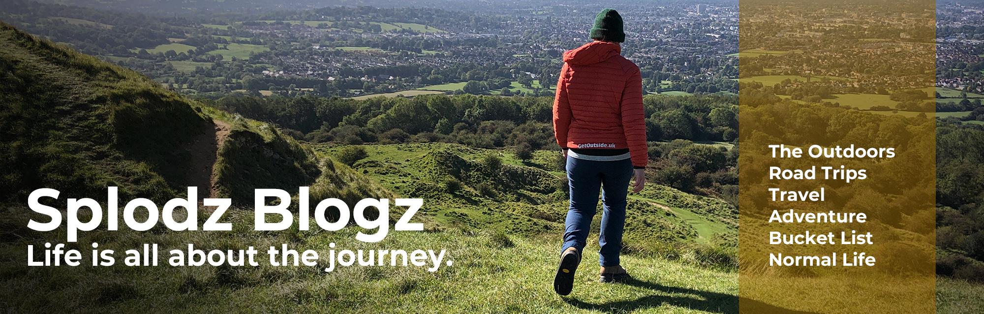
This blog post about hiking a lovely circular route in the Clent Hills also features my regular collaboration with adidas.
If you’re looking for the perfect day out in the great outdoors, let me introduce you to the Clent Hills. A couple of Saturdays ago, I headed out on a 12.5-mile circular hike, starting and finishing at Waseley Country Park, with the famous Four Stones as my midpoint.
The weather treated me to crisp blue skies, and the undulating trails offered plenty of variety without being too challenging. Five hours flew by as I soaked up the stunning scenery, and I can’t wait to share this incredible route with you – adventure journal style.

The Clent Hills
Visiting the Clent Hills was one of the 25 things I put on my 2025 Bingo Card, mainly because there are some unusual yet purposefully placed rocks there to see. And for some reason that I can’t quite remember, I am a bit of a fan of really old or weird rock…
The Clent Hills are a stunning range located in Worcestershire, not far from Birmingham. Managed by the National Trust, they are well-loved for their natural beauty, rich history, and excellent walking routes. The rocks I am referring to are the Four Stones, a curious set of sandstone standing stones, is a popular and pretty cool looking landmark.
Despite their appearance as ancient megaliths, they are actually a folly constructed in the 18th century by Lord Lyttelton of Hagley Hall. These sandstone stones were placed on the hilltop around 1763, designed to create a sense of mystery and wonder for visitors enjoying the landscape. Oh, come on – don’t tell me you wouldn’t create a standing stone folly if you had the land and opportunity?! I absolutely would!
But of course, I didn’t just want to drive there, visit the Four Stones, and come home. In reality, visiting those four not so ancient standing stones was just an excuse for a day hike. I created a loop in OS Maps using three or four other routes I found online as my inspiration, and did the 45 minute drive north to see this area of the countryside for the first time.
Download file for GPSSee the full route in OS Maps.
On Leaving My Boots at Home
While my sturdy leather hiking boots are a staple in my outdoor gear list, I have become a fan of hiking in trainers over the last couple of years. This was in part thanks to being sent a pair of the adidas Terrex Free Hiker 2.0 Low Gore-Tex, which have become an excellent alternative when I want something lighter and more bouncy, but still stable, grippy – and waterproof. Let’s face it, at this time of year in the UK, I definitely want to be hiking in waterproof trainers, because even if it’s a sunny day, the ground will still be damp and probably also muddy.
These are easily as comfortable as any trainers I’ve had, with a wide toe box to give me lots of room to wiggle my toes, and some decent structural elements around the heel and through the sole to give me a stable stride. The Boost midsole does a great job of turning my input into movement – comfortable underfoot without feeling spongy. And the Gore-tex waterproofing means I can wander through wet grass and muddy puddles without worrying about my feet getting wet. I trust them for spring hikes like this one when I know the mud will still be lingering after the very wet winter we’ve had.
Sadly, my Free Hikers are pretty well worn out now, having taken me hundreds of miles since I got them 18-months ago or so. But they are still plenty good enough for hikes like this one – and will be on my feet for my next multi-day hike coming very soon. I’ve actually got my eyes on the new Terrex Skychaser Gore-Tex Hiking Shoes, which recently won the UK Outdoor Industry Awards 2025. But until I splurge on something new, I’ll keep on walking in these hiking shoes.

My Clent Hills Circular Hike
I parked at Waseley Hills Country Park (the north car park, off Gannow Green Lane), where the large gated car park would be open from 8am to 4.30pm and cost £3 for the day. I could have parked on a nearby lane, or at other spots on my circular route, but this one seemed to make sense for me on this occasion – and I have no problem paying a reasonable parking fee when it goes back into looking after the outdoor spaces I and others enjoy spending time in. There are public toilets (another reason to start and finish here!), and I was looking forward to testing out the onsite café after my hike.
I began by walking away from the country park, crossing the M5, and following the Monarch’s Way north for a couple of miles. As soon as I was on the trail I was happy – while I was very close to a huge motorway, I found myself surrounded by countryside, and enjoyed descending gradually through farmland towards some woodland.

Downed Trees in Long Saw Croft
That woodland was Long Saw Croft, a pretty but rather storm damaged woodland that had a nice vibe about it. There were a few downed trees to navigate around, plus one massive pile of fallen trees which took a bit more effort.
I watch a lot of YouTube videos of people hiking the Appalachian Trail, and they always go on about being slowed by downed trees – but other than the odd one here and there, it’s not something I’ve experienced for myself before on this scale.
One interesting thing on my way into the woodland, was an information board about the Vickers Wellington Mk X Long Range Medium Bomber. This was a British twin-engine aircraft used extensively during World War II. The signage told me that one crashed at Newtown Farm during a night training operation in August 1944.
The crew, who were all killed in the accident, were F/O Kenneth Wilson Fox, Sgt George Firth, and P/O Stanley Clarkson Walker. There was also a laminated piece of A4 paper attached to the fence, with a photo of George Firth on his wedding day – just four months before he died. I like that there’s some mention of these men in this spot where they met their end, a story that won’t be lost when memories fade.

More Woodland Wandering
After a short stretch of more open ground, I walked through Twiland Wood, another attractive little woodland. Home to several ancient trees, some of which are over 200 years old, it seemed less managed than Long Saw Croft (it was more natural looking, at least). My route took me between the embankments of a dismantled railway, down into the valley, over a very rickety bridge, and back back up and into farmland again.
I found a discarded helium balloon in the woodland, and so after celebrating whoever it was who turned three recently, I packed it into the mesh pocket of my day pack to get the litter out of the countryside. Honestly, don’t buy those things!
After a couple of miles of farmland and meadows, my route took me around the boundary of Uffmoor Wood. Managed by the Woodland Trust, the name of the site means ‘Offa’s moor’. King Offa ruled Mercia (middle England) from 757 until 796. The site had probably been wooded since the end of the last Ice Age, but during the 1970s most of it was felled and replanted with a conifer mix. The Woodland Trust took it over in 1986, and since then have thinned the conifers, to allow the native trees and ground flora to regenerate.
One of my favourite paths of the day was the one that hugged Uffmoor Lane, to the west of the woodland. I say it hugged the lane, and it does look like that on the map, but in reality it is well protected and feels like you are far away from any cars. The path was so very pretty, and even came with some stepping stones made from old tree trunks to help me hop over the worst of the muddy sections – nice.

The Legend of St Kenelm
The next interesting feature on my route towards the Clent Hills was an ancient well, which has been built around a spring where it is said that St Kenelm, the boy king, was murdered whilst on a hunting trip. The legend of St Kenelm – and it is legend because there is not much real record of such a person until years later – suggests that he was the grandson of King Offa (the same Offa mentioned above). He was decapitated by a family member and left to rot in the woodland. Gotta love medieval history stories!! It is said that when the body was found, a ‘great fountain gushed forth’, creating a holy well where many miracles were performed.
While the records of the time might be hazy, there are a lot of nods to Kenelm around – the boy king’s murder clearly caught the imagination of people over the years. He even gets a brief mention in the Canterbury Tales. Apparently, folk used to celebrate St Kenelm’s Day (17 July) by ‘crabbing the parson’ – that is, bombarding the local cleric with a volley of crab apples!! Nice…

Pilgrim Trails
This legend has links back with Winchcombe, a village close to where I live and that I know well (you might like this adventure journal). The boy’s body was taken in procession back to this Gloucestershire village to be buried with his father, and on arrival, a spring emerged – which is now housed inside an 18th Century well house around a mile above the village. There’s also a stone coffin, supposedly that of St Kenelm, in St Peter’s Church (was in Winchcombe Abbey).
On researching this legend to include some words in this journal, I discovered there is a St Kenelm’s Way (here on OS Maps), a 55-mile hike from one well to the other. Might have to put that on my list…!
Pilgrims have visited this well and the Church of St Kenelm above seeking forgiveness of sins and healing of ailments for centuries. So, I took a moment of quiet at this spot before heading up the hill and through the Penorchard Meadows Nature Reserve.

Clent Hills Country Park
It’s probably okay to say that the peace of St Kenelm’s well and church was somewhat shattered when I reached Clent Hills Country Park. After seeing no-one for the first five miles of my day hike, it was a bit of a shock to the system to be walking alongside a sprawling car park. Managed by the National Trust (and the Woodland Trust in part), places like this have been developed to help people get outside into nature, and I have absolutely no issues with that.
The Clent Hills were once part of the great Mercian Forest and still contain the remains of an Iron Age hillfort. The main pull for most, including myself, are the numerous follies built for the amusement of Lord Lyttelton and his guests.
There are a few separate hills within the range, and I took in both Clent Hill and Walton Hill on my route. I started by taking the easy and accessible path to the viewpoint, complete with toposcope but no trig pillar, before continuing up to visit the Four Stones. As mentioned at the top of this journal, the Four Stones are a folly with no actual historical significance. But, you know, they are still cool to visit. I’d built this whole day hike around seeing this sight – and the views from it – and it was worth it.

Trig Pillar on Walton Hill
Once I left the main viewpoint and Four Stones, my hike became much less busy once again. I took the steep descent down through the absolutely beautiful Deep Wood towards Clent itself, before heading up to Walton Hill.
Still part of the Clent Hills, the ascent was initially on a lane and then up through yet more woodland. The trig pillar here stands at 315m above sea level, and was the only one on the hike. Thanks to still being on National Trust land, the path was well maintained and easy to follow, and while the climb was steep, it wasn’t too arduous.
There’s so much more to explore in the Clent Hills, and I will need to return. Apart from the not-so-old standing stones, there’s also a mock castle, an obelisk, and miles and miles of trails to walk. I can see why this is a popular place to visit on a sunny March Saturday!

North Worcestershire Path
At the trig pillar I picked up the North Worcestershire Path, a 37-mile route which crosses the north of the county from Bewdley to Major’s Green. This was a real find – a beautiful and easy-going trail through farmland and woodland. It was a pleasure to walk on, and I thoroughly enjoyed bounding along this stretch of the trail. This waymarked path would get me all the way back to the M5, which was handy as it meant my map could be stowed and I could enjoy making progress without having to check where I was going for a while.
The ascent up Winwood Heath Road was long and steep, and the view was somewhat spoiled by the barbed wire fence blocking off privately owned woodland on both sides. But that was made up for by the countryside sections before and after, where I felt much more welcome!
Once back over the M5, it would have been easy for me to take the North Worcestershire Path straight back to my car, but it seemed rude not to explore Waseley Hill Country Park before I did so. So, at Chapman’s Hill Farm, I took a right along a track and headed down and around Segbourne Coppice in order to set myself up for a climb up and over Waseley Hill before finishing my hike.

Waseley Hills Country Park
The Waseley Hills have been grazed for hundreds of years, and were once owned by the Cadbury family, who bought large areas of land to the south of Birmingham to prevent the city from spreading too far into the countryside. It’s now owned by a number of organisations, including the National Trust, Bournville Village Trust, and Worcestershire County Council.
Known as ‘The Midlands Watershed’, rain falling on the western side of the hill drains into the River Salwarpe and then to the Bristol Channel, while rain falling on the eastern side forms the River Rea and flows into the Trent and ultimately the North Sea. How’s that for a fun fact?!
There are hundreds of paths through the park, and so for ease I chose to pick up the Monarch’s Way – which I’d started on that morning – to get myself up and over without getting lost. As with the Clent Hills, you could spend hours exploring all the different trails in this area, and I can see why people come here to get some outdoors time.
Naturally, and as I’d promised myself at the start, I ended my hike with tea and a sausage roll in The Windmill Café – a rather chaotic café (it was Saturday lunchtime!) by the main car park. I’d walked the 12.5 miles in a little over 4.5 hours, including 610m of ascent, and definitely felt like I deserved a treat!

Reflections on my Clent Hills Day Hike
I reckon this is one of the best day hikes I’ve done for a long time. I absolutely nailed it with the route (if I do say so myself) – it was packed full of interesting features and was a pleasure to walk. It might not have involved a mountain or a sea view, but there is something just perfect about hikes that are about joining up interesting places without being overly challenging.
Of course, the main thing – the reason I created the route – was the Four Stones folly in the Clent Hills. This really was just an excuse for a hike, but it was a pretty good one. Hiking is a great way to discover human history, and this quirky garden sculpture at the top of a hill in Worcestershire was a great example of that.
It was so varied, too, crossing farmland, through woodland, and along tracks and lanes. There were a couple of steep climbs, but there was nothing technical or too laborious. The views were superb – I caught glimpses of the city of Birmingham most of the day in one direction, along with the big hills of the Malverns and beyond in the other.

The Clent Hills: Recommended
The two country parks I walked through were busy with people enjoying the outside, but the rest of the walk was very quiet, especially the first four or five miles when I saw no-one else. Yes, being so close to a major city I could hear the hum of traffic a lot of the time, but the sounds of nature still came through. You can say what you like about busy roads, but they have a purpose (and they are what got me here in the first place!).
Oh, and I should say, it wasn’t even that muddy! If you’re following my Mendip Way adventure journal series, you’ll know just what I experienced on that particular hike, and I am very glad to report that this was nothing like that! Although it clearly does get very muddy in places (the manmade stepping stones at Uffmoor are a clue!), but it was absolutely fine for me in mid-March.

If you are looking for a great hiking day out near Birmingham sometime, then I’d recommend this one.
You can see my Clent Hills route in full on OS Maps. And if you’ve not tried the map yet, use OSCHAMPS to claim three months free premium access to the app (code only works via the mobile app) – it’s a game-changer for planning and sharing your hikes.
I am a member of the adidas blogger community. As part of this, I receive vouchers to spend on adidas gear of my choosing. The three pairs of trainers mentioned in this post have all been purchased using these gift vouchers over the course of the last three years. Thanks adidas!
What do you think? Comment below...